Breaking News
Heat Vulnerability, Air Pollution, and Environmental Justice
Students in Jake Dialsandro's capstone focused on spatial vulnerability, environmental health, and climate resilience, utilizing advanced geographic modeling to address localized disparities. The first project, in partnership with the County of Santa Clara, employed geospatial statistics to map how socioeconomic factors and environmental variables contribute to extreme heat and hazard vulnerability across Santa Clara County. A second team collaborated with the Valley Improvement Project (VIP) to simulate cooling mitigation strategies for disadvantaged communities in Modesto, using the Stanford InVEST model to demonstrate the temperature-lowering effects of enhanced tree canopy. Also working alongside the Air Quality and EJ Taskforce Community at VIP, a third project utilized GIS and statistical analysis to investigate the spatial correlation between poor air quality, extreme heat events, and elevated asthma hospitalization rates in Stanislaus County. Together, these projects provide spatially explicit, data-driven evidence to support equitable climate resilience planning and targeted public health interventions.
We are grateful to students for their hard work, to our partner organizations and community residents, and, especially, to the individual mentors for their thoughtful guidance and commitment to ethical engagement that advances learning, research, and community change.
Click on the PDFs to view students’ final capstone posters.
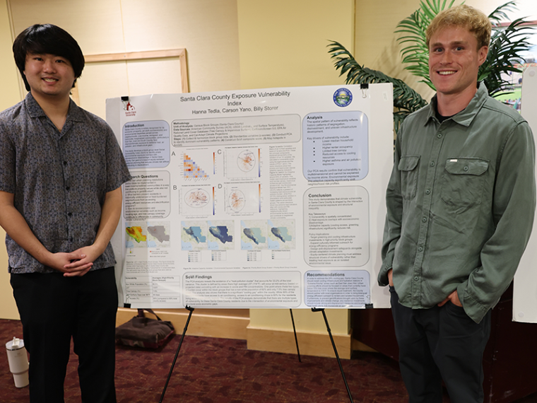
Santa Clara County Exposure Vulnerability Index (PDF)
Carson Yano, Billy Storer, Hanna Tedla
Our research question asks how socioeconomic and environmental variables, such as income, housing characteristics, language isolation, and tree canopy coverage, contribute to spatial differences in heat vulnerability and other hazard vulnerability (sea level rise, air quality) and access to energy-efficient resources across Santa Clara County. Although the county is widely recognized for its economic prosperity, substantial disparities persist within the county, particularly among low-income, immigrant, and historically marginalized communities that face disproportionate exposure to heat-related risks and limited access to adaptive resources. We are investigating this question to identify where and why these vulnerabilities occur and to make equitable climate resilience planning an urgent priority, especially as climate change intensifies the frequency and severity of extreme heat events. We will leverage geospatial statistics and a principal components analysis to quantify exposure, sensitivity and priority scores by clock group for targeted extreme heat mitigation.
Modeling Cooling Mitigation Strategies for Modesto Disadvantaged Communities using the Stanford InVest Urban Cooling Model (PDF)
Carmel Dill-Cruz, Graciella James-Hickey, Carly Asherman
This research investigates effective cooling mitigation strategies in reducing air temperature in Modesto, California. Historically, low-income and vulnerable communities are disproportionately affected by extreme heat and poor air quality. Through collaboration with Valley Improvement Project, we identified zip codes in Modesto that are at the highest risk of this environmental injustice. Our goal is to provide informative maps of the best cooling mitigation strategies for potential implementation. This research is being conducted through a combination of data layers: evapotranspiration, land cover, surface temperature, tree canopy, albedo, and vegetation index. These data layers are input into the Stanford Urban Cooling InVEST Model, which diagrams the Urban Heat Island effect in the area of Modesto. Utilizing this model, we employ different levels of tree canopy coverage into the model to determine the effects of its increase on land surface temperature. We expect to find that increased tree canopy coverage can combat the urban heat island effect in Modesto. The Urban Cooling model will generate a map demonstrating the extent of cooling given different scenarios of increased tree canopy or albedo. The implications of this finding suggest that extreme heat in Modesto can be combatted through enhanced tree canopy coverage. In the future, the county can apply for governmental grants and enhance community awareness to make a decisive effort to plant more trees in the area.
The Impact of Extreme Heat Events and Poor Air Quality on Hospitalization Rates in Stanislaus County (PDF)
Shea Mulqueeney, Rachel Lin-Peistrup, Kyle Berg, Rosie Houghton
Utilizing quantitative research methods, this study examines how air quality and heat spatially and demographically correlate with asthma hospitalizations within Stanislaus County. Through the examination of emergency department visit rates by zip code we aim to identify whether asthma hospitalization rates cluster in areas that experience higher levels of air pollution (e.g. PM 2.5, Ozone) and elevated temperatures, this can provide graphics and scientifically backed maps that allow (VIP) to employ spatially explicit, data-driven evidence of how environmental conditions contribute to respiratory health disparities in Stanislaus County. Modesto sits in the center of agricultural land in the Central Valley of California; the geographic context of Modesto puts the city in a vulnerable position to experience higher heat and concentrated air pollution. Our research has been conducted through the usage of Geographical Information Systems, literature reviews, and statistical analysis. Data provided by Stanislaus Health Agency and CalHHS provided us with hospitalization rates allowing the calculation of relative risk ratios. Using projected heat data, modeled analysis of days of extreme heat were produced along with spatially distributed demographic data. Preliminary results show that Stanislaus County residents are at 84% increased risk for asthma emergency department visits compared to San Mateo County residents.